22 March, 2022
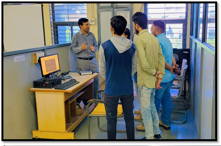
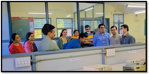
An open-to-all demonstration on NavIC receiver was held at F-210 lab of EC Engineering Department of VGEC, Chandkheda on 22nd March 22. This demonstration was kept to make the students aware regarding India’s own navigation system and satellites used for it. NavIC stands for Navigation with Indian Constellation. It is an Indigenous Satellite Navigation System with 7 GEO/GSO satellites. It provides accurate position information service to users in India as well as the region extending up to 1500 km from its boundary having an accuracy of < 20 m.
Key Features:
Discussion Points: